
Back
Blog
Boston Living With Water Illustrates Boston’s Multi-Faceted Approach to Resilience Planning
Written by Amanda Maher
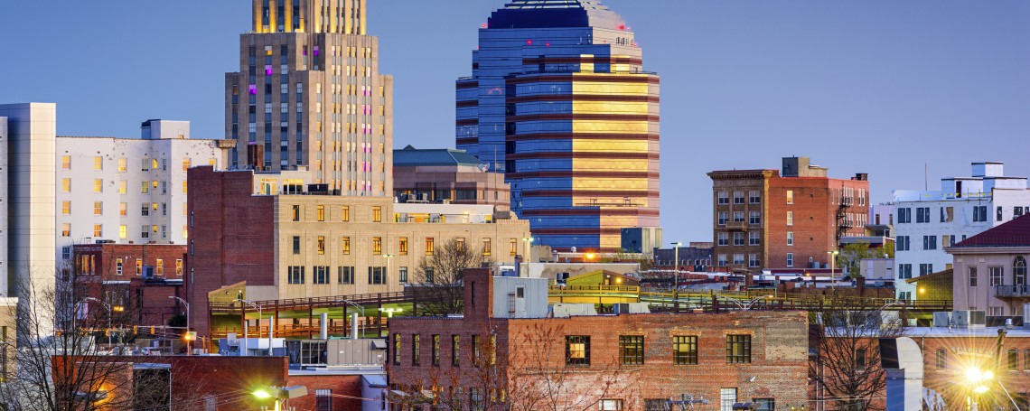
Because climate change is a global issue, it can be difficult to address on a city level. Boston has spent the last three centuries filling in marshes and tidelands to create new neighborhoods, drastically increasing the city’s land area. Buildings were constructed anywhere from two to eight feet above high tide in order to withstand sea level changes. Yet this protective barrier has been eroding; over the past century, the Boston Harbor sea level has risen almost a foot. Many of Boston’s neighborhoods already routinely deal with flooding. With sea level likely to rise further, these problems are likely to worsen.
The 100-year flood is no longer happening only once a century, as Hurricane Katrina and Superstorm Sandy demonstrated. In light of these extreme weather events, cities around the world are closely examining what it takes to be resilient. Boston is a national leader in these efforts, as evidenced by the recent release of “Resilient Food Systems, Resilient Cities,” a research report commissioned by the City of Boston and written by ICIC, and the recent selection of Boston as one of Rockefeller’s 100 Resilient Cities. The Boston Living with Water Competition, which recently announced its winners, is another example of Boston’s forward-looking resilience effort.
Resilience is a city’s ability to recover in the face of adverse events – ranging from a crippling storm to a financial meltdown or a terror threat. In its 100 Resilient Cities Challenge application, funded by the Rockefeller Foundation, the City of Boston noted that many of its inner city neighborhoods have been left behind economically, even as higher income neighborhoods thrive. Inner city communities face disproportionately high housing costs, low wages and lack educational opportunities. These risk factors mean that in the case of a disaster, low-income neighborhoods are likely to be less resilient than others.
Boston Living with Water (BLWW) is a commission, run by the City of Boston and several partners, that was created to prepare the city for climate change and the predicted concurrent sea level rise. Last year, BLWW announced a $20,000 competition to solicit ideas from around the world, focusing on three sites of particular concern: The Prince Building in the North End (one building), Fort Point (a 100-acre neighborhood) and Morrissey Boulevard in Dorchester (a significant piece of infrastructure).
More than 50 teams from eight different countries submitted proposals. After narrowing the list to nine semifinalists in February, the BLWW announced its winners earlier this week:
- The Prince Building: “The Prince Building Piers” led by Stephanie Goldberg and Mark Reed. Rather than trying to prevent seawater from entering the city, the team’s proposals welcomes the water and surrenders the North End’s outer streetscapes to a new urban seashore offering recreation, ecological reclamation and new cultural experiences. Multi-floor building extensions mimic the piers that characterize traditional waterfront districts; these would provide vertical, ecologically-vibrant public courtyards. The proposal also transforms Commercial Street into a beach, which begins by closing the road to auto traffic for bicycle and drone use only.
- The Fort Point Neighborhood: “Model Urban Waterfront District” led by Architerra, Inc. This proposal suggests raising the entire base and infrastructure of the 100-acre neighborhood by approximately 12 feet, matching the raised elevation of historic Summer Street and creating a resilient development area to serve as model urban waterfront district for the 21st and 22nd centuries. The plan calls for infrastructure and buildings that will be resistant to storm surges, combined with a renewable district energy plant and floodable wharves.
- Morrissey Boulevard: “Total Resilient Approach” led by Venice, Italy-based Thetis S.p.A. This proposal would raise Morrissey Boulevard 18 feet and establish stronger connections to adjacent neighborhoods, capitalizing on the opportunity to redevelop the entire Columbia Point neighborhood through a strategy based on habitat restoration and sustainable urban landscaping. The plan also includes an urban wetland alongside Morrissey Boulevard that would create a rain garden belt and connect to the Patten’s Cove Salt Marches, which would be restored to their original functionality. This proposal imagines dune ridges remodeled into wind-nourished beaches and a canal with green seawalls that provide access to the water.
The BLLW awardees’ ideas are bold—but they may be exactly what the city needs to protect its buildings, infrastructure and assets.
In ICIC’s research for “Resilient Food Systems, Resilient Cities,” we found that it’s not just Boston’s built environment that is vulnerable; its system of producing, processing and distributing food would also be at risk in the event of a major natural disaster. As is the case with other systems, Boston’s poorest residents would be most at risk. Through its multifaceted approach to improving the city’s resilience, Boston is working to ensure that all its residents, even the most vulnerable, are able to quickly resume their normal lives after a disaster.